
Jordan Trail: from Um Qais to the Red Sea, and Dana to Petra in four days
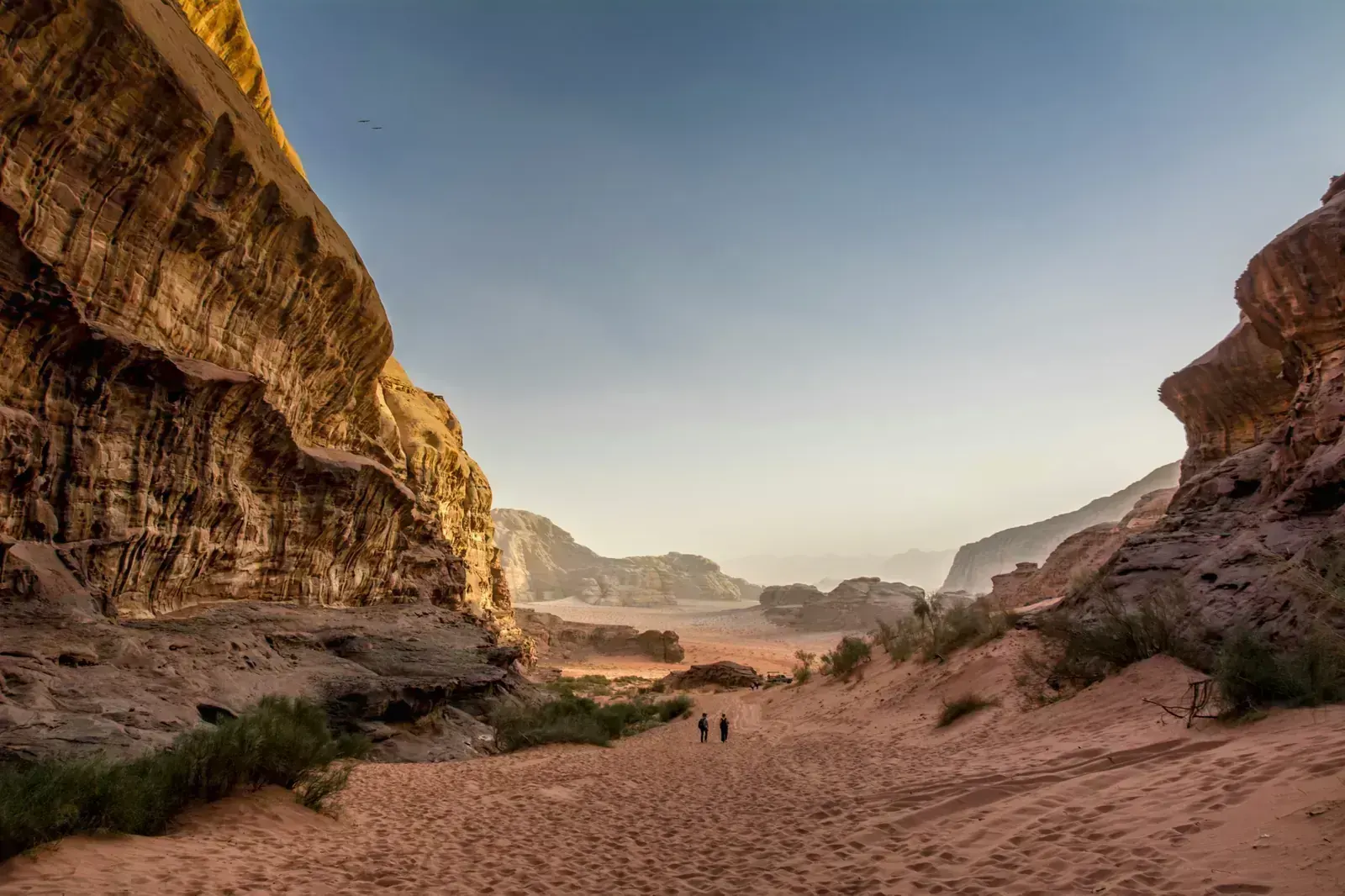
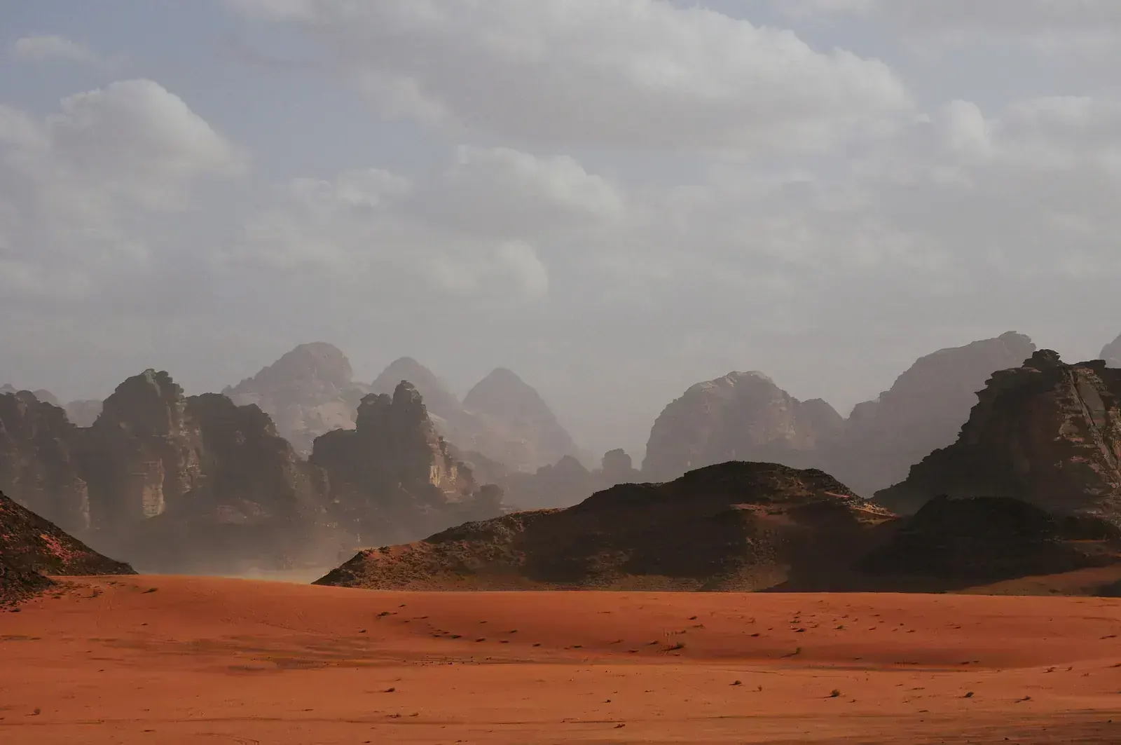
The Jordan Trail crosses the whole country on foot: about 650 km to 675 km from the Roman ruins of Um Qais in the north, above the Yarmouk gorge, to the Red Sea at Aqaba. It runs through the oak forests around Ajloun, the canyons above the Dead Sea, the Dana Biosphere Reserve and the copper valley of Feynan, into Petra by its back door at Little Petra, then across the sand and granite of Wadi Rum. A full walk takes about 35–42 days; most people walk one region, and Dana to Petra in four days is the most walked. The trail is not waymarked and water is scarce in the south. Here is what to expect, region by region.
- High point
- 1,499 m · Highlands between Al-Karak and Dana
- Duration
- 35–42 days
- Best months
- Mar–May, Oct–Nov
- Difficulty
- Hard, non-technical
- Guide
- Not required
For guidance only. Check details with your operator and the official sources listed at the end before you book.
Where to book and compare Jordan Trail trips
Booking sites · affiliate linksEach site lists trips from several operators. Compare dates, group sizes, what is included and reviews there; we don't rank operators.
We earn a commission if you book through these links, at no extra cost to you. Prices and availability are on each site.
On this page
Which route should you choose?
The trail has eight regions and 35 main sections, plus side trails, through more than 50 villages and towns. From north to south: Um Qais to Ajloun (78 km), Ajloun to As-Salt (62 km), As-Salt to Wadi Zarqa Ma'in (84 km), the three wadis to Al-Karak (75 km, including Wadi Mujib, nearly 800 m deep), Al-Karak to Dana (84 km), Dana to Petra (72 km), Petra to Wadi Rum (92 km) and Wadi Rum to the Red Sea (112 km). Region lengths are from the association's own pages and change slightly from year to year.
Height varies more than you might expect. The trail drops to about -188 m in the Jordan Valley in the north, climbs to about 1,499 m in the highlands before Dana, and every region has 1,800 m to 3,700 m of climbing. The north is green, with homestays and villages close together. From Dana south it is desert and mountain, with wild camps, Bedouin camps and long gaps between water.
| Route | Days | Scenery | Crowds | Acclimatisation |
|---|---|---|---|---|
| Dana to Petra (Region 6) itinerary belowAbout 73 km in four days, from Dana village down through Wadi Dana to Feynan, across the foothills to Wadi Feid, up to Little Petra and into Petra past the Monastery. Wild camps and Bedouin camps; the climb out of Wadi Feid and the long dry day to Little Petra are the hard parts. Add a day in Petra at the end. | 4–5 | Excellent | Medium | Very good |
| Petra to Wadi Rum (Region 7)About 92 km on the official region page, from Petra past Jebel Haroun and the Colored Canyon to Humeima, at the edge of Wadi Rum. Almost all wild camping; water is the main problem, with a day and a half without any between Humeima and Shakriya. | 5–6 | Excellent | Low | Very good |
| Wadi Rum to Aqaba (Region 8)About 93 km to 112 km depending on where you start, through Rum Village, past Lawrence's Spring and over granite passes to the Red Sea. Long sandy stretches, no water on the last stage and no mobile signal after Rum Village. | 5–6 | Excellent | Low | Very good |
| Um Qais to Ajloun (Region 1)About 78 km through olive groves, grassland and the oak forests around Ajloun, with homestays in Beit Idis, Orjan, Baoun and Rasoun. Green and in flower in spring, and the easiest region for food and beds. | 4–5 | Very good | Low | Very good |
| Organised thru-hike by the Jordan Trail AssociationThe Jordan Trail Association walks the whole trail twice a year with guides, a support car, meals and camps. 2027 dates, Amman to Amman, are 18 March to 29 April and 7 October to 18 November, at JOD 4,085 for the whole trail; single regions and weekends are also sold. | 40–42 | Excellent | Medium | Very good |
| Full trail on your own or with a local guideEight regions and 35 main sections, north to south. The association counts 35 days of walking; add rest days in As-Salt, Al-Karak, Petra and Aqaba. Resupply in towns and arrange water and camps in the south in advance. | 35–42 | Excellent | Low | Very good |
4-day Dana to Petra (Region 6) itinerary at a glance
The itinerary below is Dana to Petra, the region most people walk, in the four stages the association uses for its own hikes. Day 1 is long and mostly downhill: about 22 km and 1,000 m of descent through Wadi Dana to the copper-mining area of Feynan, with water at Feynan Ecolodge and none at the Wadi Malaga camp. Day 2 climbs an old donkey and camel path over a saddle and drops to Wadi Feid, the last reliable water before Little Petra. Day 3 is the hardest, about 23 km on loose sandstone with almost no shade. Day 4 walks into Petra from behind, past the Monastery and down the main valley, then out through the Siq to Wadi Musa.
In all, the region has about 2,825 m of ascent and 3,027 m of descent. Plan a rest day in Petra at the end, and transport back from Wadi Musa to Amman or on to Wadi Rum and Aqaba.
- Day 1 Dana village Wadi Malaga, below Feynan night at 250 m
- Day 2 Wadi Malaga Ras al-Feid night at 750 m
- Day 3 Ras al-Feid Little Petra (Beidha) night at 1,070 m
- Day 4 Little Petra, via the Monastery and Petra Wadi Musa night at 1,100 m
What it really costs
Package prices depend on group size, camps or guesthouses, and whether a support vehicle carries your bags, so compare them on the booking sites. These are the fees to plan around if you organise the walk yourself or want to check what a package includes. JOD 100 is about $141.
Insurance that covers Jordan Trail
Choose a policy that covers hiking in remote desert and mountain areas, including search and rescue and evacuation by road or air. Much of the southern trail has no mobile signal, and some camps are hours by 4x4 from the nearest village.
Check that your policy is valid for Jordan when you travel. The UK government warns that insurance may be invalid if you travel against its advice, which in late 2026 covered the area within 3 km of the Syrian border. Keep the Tourism Police number, 117777, with you.
Staying connected in Jordan
An eSIM installed before you fly works on landing in Jordan, and local SIM cards are sold at Queen Alia airport. Signal is good in towns and the north, but poor on the remote sections: on the first day from Dana there is coverage only on high ground and at the end, and there is none after Rum Village until close to Aqaba.
Download offline maps and the association's GPX tracks before you start, because the trail is not waymarked, and carry a power bank.
Getting there and where to stay
Fly into Queen Alia International Airport (AMM), about 30 km south of Amman, the usual start for both ends of the trail. Aqaba's King Hussein International Airport (AQJ) is close to the finish but has few flights. Coming from Saudi Arabia by road, there are three land crossings, all open around the clock.
Getting there by air
By road from Saudi Arabia
To the trailheads
Gear: rent or buy
Nothing technical, but sun, loose rock and distance. The association asks every walker to carry at least 3 litres of water a day, and on dry stretches you will need more. Spring and autumn nights in the highlands are cool: in Wadi Musa, nights are about 6 °C in March and 7 °C in November, and in winter Dana can get snow.
- Broken-in boots with ankle support for loose stone and screeBuy
- Water bottles or bladder for at least 3 litres, plus purification tablets or a filterBuy
- Wide-brimmed sun hat, sunglasses and high-factor sunscreenBuy
- Light long-sleeved shirt and trousers against sun and thornsRent or buy
- Warm jacket and a sleeping bag for nights down to about 0 °CRent or buy
- Trekking poles for steep descents into the wadisRent or buy
- Headlamp for early starts in the heatBuy
- Phone with offline maps and the official GPX tracks, plus a power bankBuy
- Sandals for wadi crossings and the evening in campRent or buy
Add a few days in Jordan
The trail passes three of Jordan's best-known sights and ends at the Red Sea, so spare days before or after are easy to fill.
A full day inside Petra
Wadi Rum by jeep or camel
Aqaba and the Red Sea
Frequently asked questions
How hard is the Jordan Trail?
Hard, mainly because of heat, terrain and water, not altitude. Days are 12 km to 26 km, often on loose stone, sand and scree, often with 500 m to 1,000 m of climbing or descent. The trail is not waymarked, and in the south you carry water between distant sources. Dana to Petra is rated difficult to challenging on three of its four days. There are no technical sections, but some short exposed paths, for example near the Monastery above Petra.
Do I need a guide or a permit?
There is no permit for the trail itself, and no law requires a guide on it. The Jordan Trail Association strongly advises a local guide on every region, because the trail is unmarked, remote and short of water. You pay entry fees where the trail crosses Dana Biosphere Reserve, Petra and Wadi Rum Protected Area; call Dana reserve before entering. In Wadi Rum, only licensed local operators may take visitors into the protected area, so camps and transport there go through Bedouin operators. Check current rules with the association before you go.
What about food, dietary needs and faith on the trail?
About 95% of Jordanians are Sunni Muslims, and meat in villages, homestays and Bedouin camps is normally halal; ask your operator to confirm, especially for packed lunches. If you eat vegetarian or vegan, have an allergy or follow another diet, tell your operator when you book. Kosher food is not something to expect on the trail; bring your own if you need it.
Towns and villages along the trail have mosques, so in the north and around Al-Karak, Dana and Wadi Musa prayer stops are easy to plan. On wild-camp days between Feynan and Little Petra or in Wadi Rum there is none, so agree prayer stops with your guide and carry a qibla app. Water for wudu is limited in the desert, so plan for tayammum. For any religious practice, ask your guide how the walking day can leave time for it.
Which languages do guides speak?
Arabic is the language of the country, and local guides, Bedouin hosts and the association's own guides speak it; the association's events include a licensed English- and Arabic-speaking guide. Ask your operator for other languages, such as French or Spanish, and for a guide from the area you are walking through if you want one.
Should I tip guides and camp hosts?
Tipping is customary in Jordan for guides, drivers and camp staff, usually in cash at the end. There is no fixed rate; ask your operator what is usual for your group and the length of your walk.
Which visa do I need?
It depends on your passport. Many visitors get a visa on arrival for JOD 40, or have the fee waived by buying a Jordan Pass before arrival and staying at least two nights; some nationalities need a visa in advance. Citizens of Saudi Arabia, the UAE, Qatar, Kuwait, Bahrain and Oman, for example, can enter without a visa, but the Jordan Pass is not sold to Arab passport holders, so they pay each site separately, at the lower Arab rate in Petra (JOD 30 for one day). Check the current rules with Jordan's Ministry of Interior or an embassy.
Can I buy the Jordan Pass?
Not with an Arab passport; the Jordan Pass website says so plainly. Other nationalities can buy it online before arrival for JOD 70–80; it covers Petra, Wadi Rum and more than 40 other sites. It waives the visa fee only if bought before arrival, for a stay of at least two consecutive nights.
How do I get into Petra from Little Petra?
You need a valid Petra ticket before you walk down past the Monastery. The association says tickets can now be bought at an office at Little Petra, though older notes on its pages say only at the main gate, so buy a Jordan Pass or a ticket in Wadi Musa first if you can, or ask your camp near Little Petra.
When is the best time to go?
March to May and October to November. The association runs its thru-hikes in these months. Spring brings flowers in the north; in May the south is already hot, with Aqaba about 37 °C by day. From June to September, heat makes most regions dangerous; in winter, Dana and Petra can be cold and snowy, and rain brings flash floods.
Is the Jordan Trail safe?
As of 3 November 2026, the UK advises against all travel within 3 km of the Syrian border, and warns of regional tension and airspace closures at short notice. The United States has had Jordan at Level 3, "Reconsider travel", since March 2026. Read both before you book. On the trail, the main dangers are heat, lack of water and flash floods: in October 2018 a flood near the Dead Sea killed 21 people, and in November 2018 more than 3,700 visitors were evacuated from Petra. Never camp in a wadi bed, and leave a wadi at once if rain starts.
Is there enough water on the trail?
In the north, yes, from villages and homestays. From Dana south, no. Wadi Feid is the last reliable source for about 24 km before Little Petra, there is a day and a half without water between Humeima and Shakriya, and none on the final stage to Aqaba. Natural water must be purified. Most walkers use camps or a support car to place water.
Sources and last check
- Jordan Trail Association: home page, regions and sections
- Jordan Trail Association: Region 6, Dana to Petra
- Jordan Trail Association: section 601, Dana to Wadi Malaga
- Jordan Trail Association: section 602, Wadi Malaga to Ras al-Feid
- Jordan Trail Association: section 603, Ras al-Feid to Little Petra
- Jordan Trail Association: section 604, Little Petra to Petra
- Jordan Trail Association: Region 7, Petra to Wadi Rum
- Jordan Trail Association: Region 8, Wadi Rum to Aqaba
- Jordan Trail Association: Region 5, Al-Karak to Dana
- Jordan Trail Association: Region 1, Um Qais to Ajloun
- Jordan Trail Association: Thru-Hike 2026 booklet
- Jordan Trail Association: Thru-Hike Spring 2027
- Jordan Trail Association: Thru-Hike Fall 2027
- Visit Jordan (Jordan Tourism Board): the Jordan Trail
- Visit Jordan: entrance fees
- Visit Jordan: border crossings and visas on arrival
- Petra Development and Tourism Region Authority: Petra fees
- Jordan Pass: prices
- Jordan Pass: frequently asked questions
- UK FCDO: Jordan travel advice
- Jordan News: US State Department raises Jordan advisory to Level 3 (March 2026)
- Al Jazeera: Dead Sea flash flood (October 2018)
- Gulf News: Petra evacuated in flash floods (November 2018)
- Wikipedia: Jordan Trail
- Wikipedia: Queen Alia International Airport
- Wikipedia: Durra Border Crossing
- Wikipedia: Wadi Musa (climate)
- Wikipedia: Aqaba (climate)