
Lebanon Mountain Trail: sections, guesthouses and what to expect
The Lebanon Mountain Trail (LMT) runs about 470 km along the mountains of Lebanon, from Andqet in Akkar, near the northern border, to Marjayoun in the south. It is split into 27 sections of 9 km to 24 km, each a day's walk from one village to the next, and you sleep in family guesthouses, small hotels and monasteries on the way. The trail stays between about 570 m and 2,011 m: nothing technical, but long days with 500 m to 1,400 m of climbing. We advise you to check the live political situation in advance. The routes below stay in the centre of the trail. Here is what to expect, from the Qadisha Valley to the Shouf cedars, and what to check before you go. We have walked sections of the LMT many times. For a first trip we point people to the stretches through the nature reserves, such as Horsh Ehden in the north and the Barouk cedars in the Shouf further south, where rangers patrol and help is close if something goes wrong.
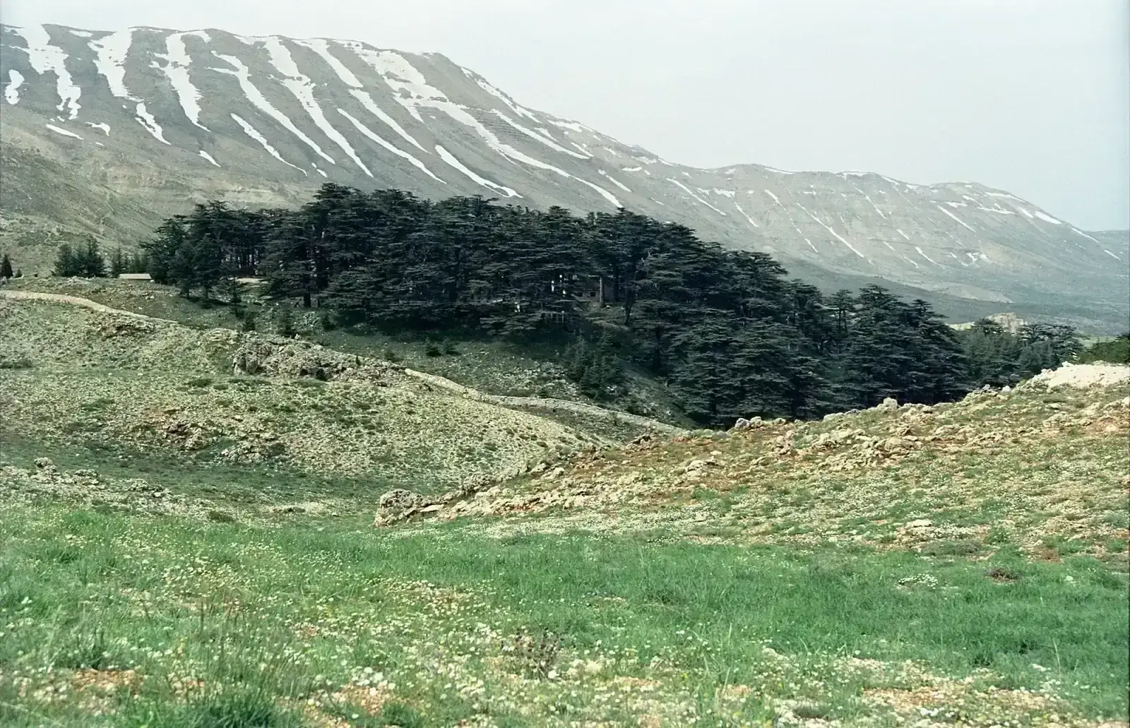
- High point
- 2,011 m · Saddle near Saydet el Qarn, between Tannourine and Aaqoura
- Duration
- 28–32 days
- Best months
- Apr–Jun, Sep–Oct
- Difficulty
- Hard, non-technical
- Guide
- Not required
For guidance only. Check details with your operator and the official sources listed at the end before you book.
Where to book and compare Lebanon Mountain Trail trips
Booking sites · affiliate linksEach site lists trips from several operators. Compare dates, group sizes, what is included and reviews there; we don't rank operators.
We earn a commission if you book through these links, at no extra cost to you. Prices and availability are on each site.
On this page
Which route should you choose?
The LMT Association (LMTA) divides the trail into 27 sections, numbered 0 to 26 from north to south on its recent events: section 0 runs from Andqet to Qbaiyat in Akkar and section 26 from Hasbaya to Marjayoun. Each section is one day, 9 km to 24 km long, with about 350 m to 1,400 m of climbing. The trail crosses one World Heritage site, the Qadisha Valley, and nature reserves at Horsh Ehden, Tannourine and the Shouf, and it passes more than 75 villages. Side trails such as Douma, Ehmej, Baskinta and Bkassine branch off it.
The LMTA usually runs a group thru-walk in April, over about 30 days, and shorter group walks in spring and autumn; in October 2026 its group weekends were on the central sections, including Hadath el Jebbe to Tannourine, Ain Zhalta to Barouk and Kfardebiane to Mtein. The routes below stay in the centre of the trail, between Ehden and the Shouf.
We advise you to check the live political situation in advance.
Official travel advice: UK Foreign Office (FCDO) and US State Department.
On the sections we walked, the trail was well maintained and well marked, the result of continuous work by the LMTA's volunteers. Marks can still go missing after road works, so carry the current track.
| Route | Days | Scenery | Crowds | Acclimatisation |
|---|---|---|---|---|
| Ehden to Aaqoura: Qadisha Valley and Tannourine (sections 6 to 10) itinerary belowFive walking days, about 84 km, from Ehden down into the Qadisha Valley, up to Bsharri and Hasroun, through the Tannourine cedar reserve and over the trail's high point to Aaqoura. Days counted from Beirut. | 6–8 | Excellent | Medium | Very good |
| Aaqoura to Mtein: Afqa, Kfardebiane and Baskinta (sections 11 to 15)Five walking days, about 92 km, south from Aaqoura past the Afqa spring, below the Faqra and Ouyoun el Simane ski slopes, to Kfardebiane, Baskinta at the foot of Mount Sannine and Mtein. Section 13 has some scrambling. Joins the Qadisha walk to make about two weeks. | 6–7 | Very good | Medium | Very good |
| Mtein to Maaser el Chouf: the Shouf cedars (sections 16 to 19)Four walking days, about 57 km, via Falougha and Ain Zhalta into the Shouf Biosphere Reserve and its cedar forests at Barouk and Maaser el Chouf. | 5–6 | Excellent | Medium | Very good |
| The full trail, Andqet to Marjayoun (sections 0 to 26)All 27 sections in about a month. The LMT Association usually runs a group thru-walk each April. | 28–32 | Excellent | Low | Very good |
6-day Ehden to Aaqoura: Qadisha Valley and Tannourine (sections 6 to 10) itinerary at a glance
The itinerary below walks sections 6 to 10, Ehden to Aaqoura, in five days, with a drive from Beirut at each end; day 7 is the drive from Aaqoura back to Beirut. We show it because it holds the trail's best-known landscapes (the Qadisha Valley, Bsharri, the Tannourine cedars and the high point). April to June and September to October are the months to walk it: the high ground between Tannourine and Aaqoura is snowbound in winter.
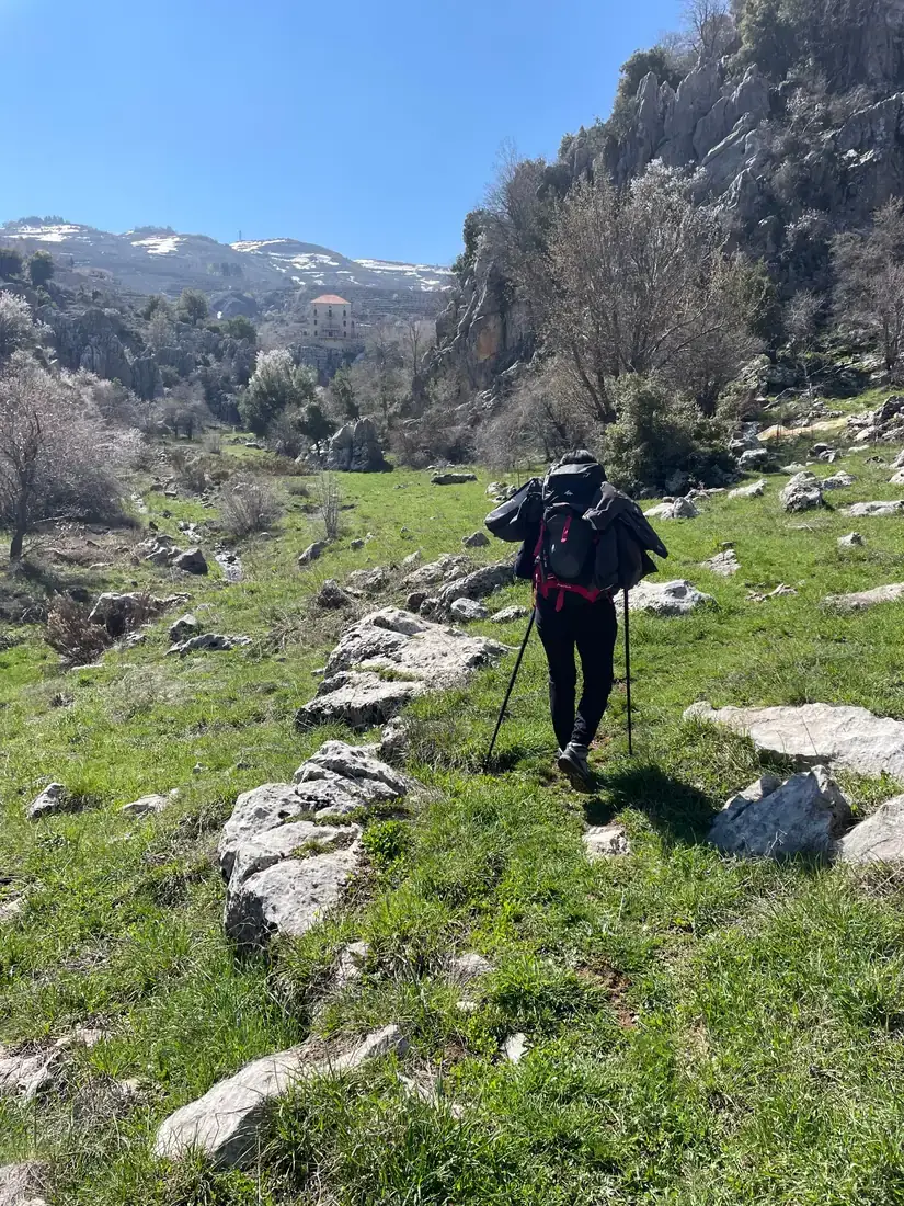
Day 2 descends about 900 m into the valley, with chains on one steep stretch, to the monasteries of Qannoubine; day 3 climbs back out to Bsharri. Days 5 and 6 are the hardest, each with more than 1,100 m of ascent and about 8 hours of walking. Short on time? Walk only days 2 and 3, Ehden to Bsharri through the valley, in a long weekend.
- Day 1 Beirut (car) Ehden night at 1,450 m
- Day 2 Qadisha Valley (Qannoubine) night at 950 m
- Day 3 Bsharri night at 1,500 m
- Day 4 Hasroun night at 1,600 m
- Day 5 Tannourine el Faouqa night at 1,250 m
- Day 6 Aaqoura via Saddle near Saydet el Qarn 2,011 mnight at 1,450 m
What it really costs
Lebanon runs on US dollars in cash: cards are often refused and dollars are hard to get locally, so bring enough for the whole trip, according to the UK Foreign Office. These are the costs to plan around if you walk independently or check what a package includes.
Insurance that covers Lebanon Mountain Trail
Choose a policy that covers hiking and mountain rescue in Lebanon, and read its war and travel-advisory clauses: travelling against your government's advice can invalidate a policy, so ask your insurer how it treats that advice and check that it covers the sections you plan.
Bsharri, Ehden and Baskinta are small towns; serious cases go to hospitals in Tripoli, Jounieh or Beirut. Keep your policy number and the insurer's emergency line on paper as well as on your phone.
Staying connected in Lebanon
An eSIM installed before you fly works on landing at Beirut; local SIM cards are sold with your passport. Signal is generally good in the villages and patchy in the deep Qadisha Valley and on the high ground above Tannourine. Most guesthouses have wifi. Download offline maps and the LMTA's track of your sections before you start.
Getting there and where to stay
Fly into Beirut–Rafic Hariri International Airport (BEY). From Beirut, the trailheads in the north are reached by road only: there are no trains, and most walkers use a private car or a transfer arranged with their guesthouse or guide.
Getting there by air
Beirut to Ehden and back from Aaqoura
A spare night in Beirut
Gear: rent or buy
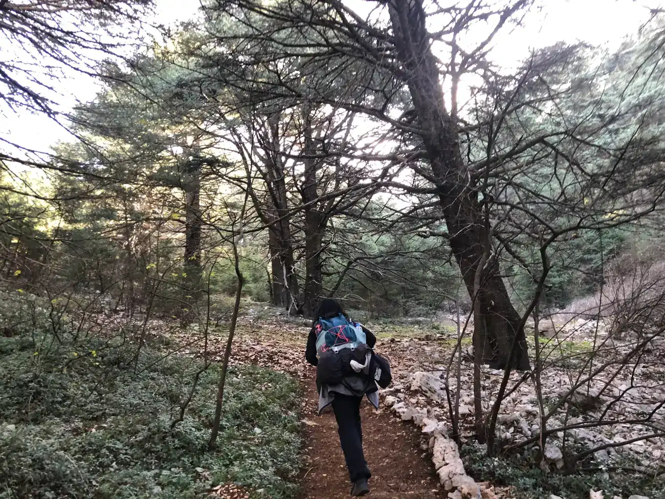
Nothing technical: this is a long walk on village paths, farm tracks and rocky mountain trails. In spring and autumn, nights at Bsharri fall to about 3 °C to 7 °C, while low valleys can be hot at midday. Carry at least 1.5 litres of water, as the LMTA advises; springs are many in spring and fewer by autumn.
- Broken-in hiking boots with good gripBuy
- Trekking poles for the steep descents into the Qadisha ValleyRent or buy
- Wind and rain jacketBuy
- Fleece or light down jacket for eveningsRent or buy
- Sun hat, sunglasses and sunscreenBuy
- Two refillable bottles or a 1.5 litre bladder, plus a filter or tabletsBuy
- Headlamp and a small first aid kitBuy
- Offline map app with the LMTA track of your sectionsBuy
Add a few days in Lebanon
Spare days in Beirut or on the way north are a good time to see the coast and the cedars.
Cedars of God, above Bsharri
Baatara Gorge waterfall
Byblos (Jbeil)
Frequently asked questions
How hard is the Lebanon Mountain Trail?
It is a long hike, not a climb. Most sections are 12 km to 24 km with 500 m to 1,400 m of ascent, and several are rated very difficult because of length and steep ground, such as the descent into the Qadisha Valley. You walk 5–9 hours a day. Altitude is not a problem: the trail stays below about 2,100 m.
Do I need a permit or a guide?
No trail permit or legal guide rule applies to the sections in the north and centre. You pay entry at some nature reserves, such as the Shouf. The LMTA asks independent walkers to contact it before they go, offers its GPS track and lists trained local guides for each section; those guides have no official licence. Foreign visitors have needed a Lebanese Army permit to enter the southern border area.
Is it safe to walk the LMT right now?
We advise you to check the live political situation in advance.
Official travel advice: UK Foreign Office (FCDO) and US State Department.
On the trail itself, stay on marked paths: landmines and unexploded ordnance remain near the Syrian border and in the south.
What about food, dietary needs and faith on the trail?
Lebanese home cooking at guesthouses is full of vegetarian dishes (lentils, beans, salads, bread, labneh), so eating meat-free is easy. Labneh and many sweets contain dairy, so if you eat vegan or have an allergy, tell your hosts when you book. Most villages on the Qadisha and Tannourine sections are Maronite Christian: meat there is not always halal, and pork and alcohol such as arak and wine are common, so ask your guesthouse or guide before booking. Kosher food is not something to expect on the trail; bring your own if you need it.
Churches and monasteries line the Qadisha Valley. Mosques are rare on these sections, so plan to pray in your room; Mecca lies to the south-southeast. In our experience, Lebanon is full of guesthouses and you can't go wrong with the food and the hospitality: tell your hosts in advance what you eat and they will cook for it.
Which languages do guides speak?
Arabic is Lebanon's language, and local guides and guesthouse hosts usually speak French or English as well. The LMTA lists local guides for each section; call them directly, as the association advises, and ask about other languages, such as Spanish, when you do.
Should I tip guides and guesthouse hosts?
A tip for a local guide at the end of the walk is common and welcome, in US dollars cash; ask your guide or operator what is usual. Guesthouse hosts do not expect tips, but buying their own produce helps.
Which visa do I need?
It depends on your passport: check the entry rules for your nationality on the site of Lebanon's General Security before you book. Some nationalities get a free entry stamp on arrival and others need a visa before travel; citizens of Saudi Arabia, the UAE, Qatar, Kuwait, Bahrain and Oman, for example, get a free stamp for up to six months. Your passport must have no Israeli stamps or visas, and your own government may have its own rules on travel to Lebanon.
Is the trail waymarked, and can I walk it on my own?
Yes, you can walk it independently, staying in guesthouses. On the sections we walked the trail was well maintained and well marked, thanks to the LMTA's volunteers, but marks can go missing in places and the route changes when new roads are built, so use the LMTA's current GPS track and tell the association your dates.
When is the best time to go?
April to June and September to October. Spring brings flowers, running springs and the Baatara waterfall; autumn is dry and clear. From December to March the high sections are under snow and suit snowshoeing, and July and August are hot in the lower valleys.
Sources and last check
- GOV.UK: Lebanon travel advice
- US State Department: Lebanon travel advisory
- Lebanese General Security: entry for Arab and GCC nationals
- Gulf News: Emirates resumes Beirut flights (April 2026)
- LMTA: practical guidelines for group hikes
- Lebanon Traveler: LMTA fall hikes, October 2026
- FAO Mountain Partnership: Lebanon Mountain Trail Association
- Wikipedia: Lebanon Mountain Trail
- SoBeirut: LMT sections, distances and ascent
- BAM: LMT section 10, Tannourine el Faouqa to Aaqoura
- BAM: LMTA local guides
- Lebanon Ministry of Environment: Ehden reserve
- Shouf Biosphere Reserve: visiting
- Wikipedia: Bsharri (climate)
- Wikipedia: Kadisha Valley
- Wikipedia: Visa policy of Lebanon
Image credits
- Photo: Jerzy Strzelecki, CC BY-SA 3.0, via Wikimedia Commons · CC BY-SA 3.0
- Photo: Brian Dell, Public domain, via Wikimedia Commons · Public domain
- Photo: Pascal / HoyooTrek
- Photo: Pascal / HoyooTrek