
Langtang Valley trek: routes, permits, costs and what to expect
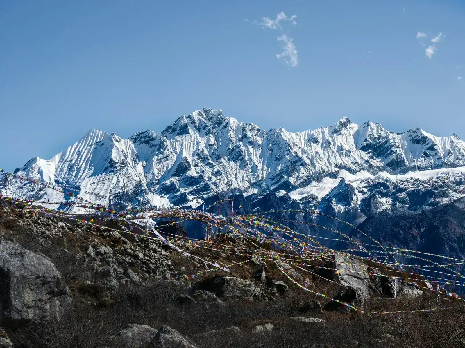
The closest big Himalayan valley to Kathmandu: a road north towards the Tibet border, then a walk up a forested gorge to yak pastures and the Buddhist village of Kyanjin Gompa at about 3,870 m, under Langtang Lirung (7,234 m). Nights stay below 4,000 m, and the day climb of Kyanjin Ri gives the widest views. As of early November 2026, the valley is open again after the August flood, but the usual start at Syabrubesi is out of use and treks begin from Dhunche or Thulo Syabru. Here is what to expect, from the road in to the cold mornings at Kyanjin.
- High point
- 4,773 m · Kyanjin Ri
- Duration
- 7–8 days
- Best months
- Mar–May, Oct–Nov
- Difficulty
- Moderate, non-technical
- Guide
- Required by park rules
- Typical cost
- $450–1,500estimate per person
For guidance only. Check details with your operator and the official sources listed at the end before you book.
Where to book and compare Langtang Valley trips
Booking sites · affiliate linksEach site lists trips from several operators. Compare dates, group sizes, what is included and reviews there; we don't rank operators.
We earn a commission if you book through these links, at no extra cost to you. Prices and availability are on each site.
On this page
Which route should you choose?
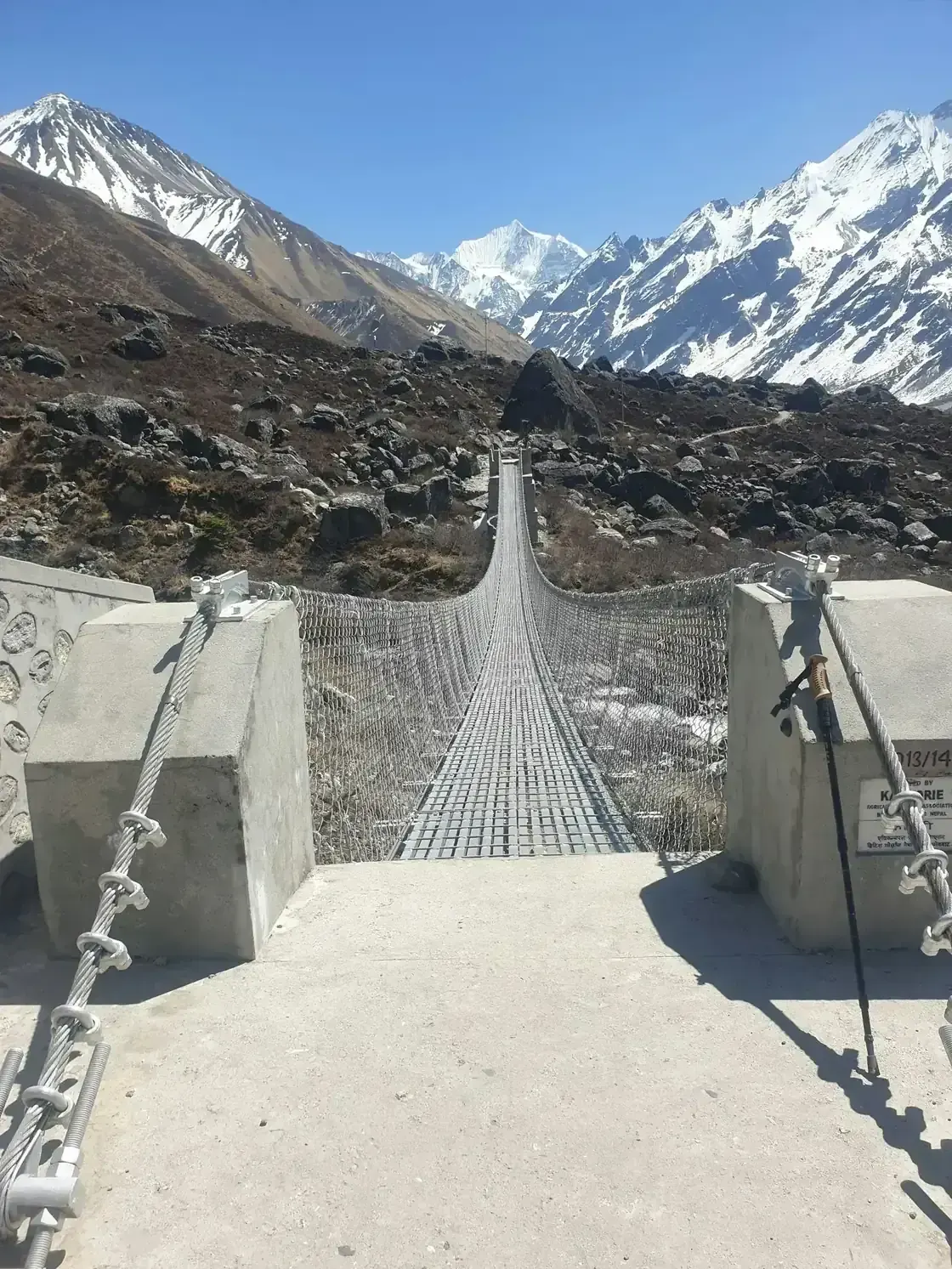
The usual route drives from Kathmandu to Syabrubesi, then follows the Langtang Khola up through forest to Lama Hotel, opens out into yak pastures at Langtang village and ends at Kyanjin Gompa, the last village with lodges. Trekkers come back the same way. As of early November 2026, that start is out of use: the 26 August 2026 flood on the Bhote Koshi damaged Syabrubesi and its bridge, and the walk now starts from Dhunche or Thulo Syabru and joins the valley trail near Bamboo, below Lama Hotel. The variants add the Gosainkunda lakes and Helambu, or the Tamang villages west of Syabrubesi.
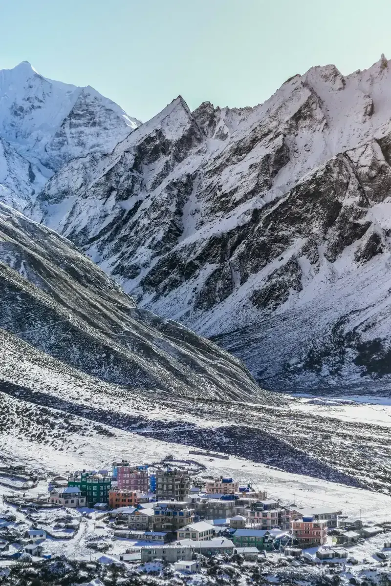
The present village of Langtang is not the old one. On 25 April 2015 the Gorkha earthquake set off an avalanche of ice and rock that buried the village and killed about 300 people, residents, other Nepalis and dozens of foreign trekkers. Residents rebuilt a little further up the valley; most houses are now guesthouses, and the old site lies under the debris beside the trail.
| Route | Days | Scenery | Crowds | Acclimatisation |
|---|---|---|---|---|
| Langtang Valley return itinerary belowUp the valley to Kyanjin Gompa and back the same way, with a day at Kyanjin for Kyanjin Ri. Days counted from Kathmandu. Open as of early November 2026, starting from Dhunche or Thulo Syabru instead of Syabrubesi. | 7–8 | Excellent | Medium | Good |
| Langtang, Gosainkunda and HelambuAfter Kyanjin, back down to Thulo Syabru, then up to the sacred Gosainkunda lakes (about 4,380 m) and over the Laurebina Pass (4,610 m) into Helambu, ending at Sundarijal near Kathmandu. TAAN listed Gosainkunda as open on 22 October 2026; the pass can close in snow. | 14–17 | Excellent | Low | Good |
| Tamang Heritage Trail and LangtangAdds about a week of Tamang villages such as Gatlang and Briddim before the valley, with homestays and a slow gain in height. The trail reopened on 24 October 2026 over a temporary footbridge at Syabrubesi; check road access to Syabrubesi before booking. | 15–16 | Very good | Low | Very good |
7-day Langtang Valley return itinerary at a glance
The itinerary below is the common 8 days from Kathmandu as currently walked: a drive to Thulo Syabru on day 1, six days on foot to Kyanjin Gompa and back, and the drive back to Kathmandu on day 8. Most stages are 5–6 hours. Day 3 is the steep one: from Lama Hotel to Langtang the trail gains almost 1,000 m. Day 5 is spent at Kyanjin, climbing Kyanjin Ri in the morning, 3–5 hours there and back. Fitter trekkers can climb Tserko Ri (about 4,984 m) instead, a longer day of 6–8 hours with about 1,100 m to 1,500 m of ascent.
Short on time? The shortest packages take 6 days from Kathmandu by dropping the full day at Kyanjin and climbing Kyanjin Ri on the afternoon of arrival or early the next morning before walking down. With a single day, Shivapuri Peak (2,732 m), in the national park on the northern rim of the Kathmandu Valley, is a day hike from Budhanilkantha.
- Day 1 Kathmandu (by road) Thulo Syabru night at 2,250 m
- Day 2 Lama Hotel night at 2,470 m
- Day 3 Langtang village night at 3,430 m
- Day 4 Kyanjin Gompa night at 3,870 m
- Day 5 Kyanjin Gompa via Kyanjin Ri 4,773 mnight at 3,870 m
- Day 6 Lama Hotel night at 2,470 m
- Day 7 Thulo Syabru night at 2,250 m
What it really costs
Package prices depend on group size, lodge level, transport and the start point after the flood, so compare them on the booking sites. These are the costs to plan around if you check what a package includes.
Insurance that covers Langtang Valley
You will sleep at about 3,870 m and may climb to 4,773 m on Kyanjin Ri or about 4,984 m on Tserko Ri, so check that your policy covers trekking to at least 5,000 m. It must include helicopter evacuation: a rescue from the upper valley costs roughly $2,500–5,000, and helicopters fly only once someone confirms payment.
Langtang village had no health facility in 2025, and help in the valley is a lodge, a guide and a radio or phone call. Keep your policy number and the insurer's emergency line on paper as well as on your phone.
Staying connected in Nepal
An eSIM installed before you fly works on landing in Kathmandu; Nepal Telecom (NTC) and Ncell SIM cards are sold at the airport with your passport and a photo.
On the trail, signal comes and goes: reports describe it as intermittent in the gorge between Thulo Syabru and Lama Hotel. Some lodges sell wifi, which is slow. Download offline maps before you leave Kathmandu.
Getting there and where to stay
Fly into Tribhuvan International Airport (KTM) in Kathmandu. There is no flight to the trailhead: the trek starts with a drive north on the Pasang Lhamu Highway via Trishuli and Betrawati, about 115 km to 122 km and 6–8 hours to Syabrubesi before the flood. As of early November 2026, a Bailey bridge at Betrawati has carried traffic since 11 October 2026, and vehicles reach Dhunche and Thulo Syabru. The road bridge into Syabrubesi was destroyed: a replacement Bailey bridge was being built in late October, and on 30 October 2026 the Kathmandu Post still reported no road bridge there, only a temporary crossing.
Getting there by air
A spare night in Kathmandu
Kathmandu to Dhunche or Thulo Syabru
Gear: rent or buy
Nothing technical, but cold nights: at Kyanjin, November nights drop to about −10 °C, and in midwinter to −20 °C. Bedrooms are not heated. A warm sleeping bag and a down jacket matter most, and both can be rented in Kathmandu before the drive.
- Broken-in trekking boots with ankle supportBuy
- Sleeping bag rated to about −10 °CRent
- Down jacketRent
- Fleece or synthetic mid-layers and thermal base layersRent or buy
- Warm hat, gloves and liner glovesBuy
- Sunglasses with high UV protection and sunscreenBuy
- Trekking poles for the steep descent from Langtang to Lama HotelRent or buy
- Water bottles and purification tablets or a filterBuy
- Headlamp for the early start on Kyanjin RiBuy
- Rain jacket for showers and wet road daysBuy
Add a few days in Nepal
Kathmandu Valley has seven monument zones on the UNESCO World Heritage list, all within an hour of the city centre; the spare days before or after the trek are a good time to see them.
Boudhanath Stupa
Swayambhunath
Bhaktapur Durbar Square
Frequently asked questions
How hard is the Langtang Valley trek?
It is a moderate walk at altitude, not a climb. On the usual route from Syabrubesi expect about 60 km to 65 km over 6 days on foot, 5–6 hours a day, with nights no higher than about 3,870 m at Kyanjin Gompa; the current start from Thulo Syabru changes the first and last days. The hardest day is Lama Hotel to Langtang, nearly 1,000 m of ascent. There are no technical sections.
Is Langtang open after the 2026 flood?
Yes, by an alternative start. The 26 August 2026 flood on the Bhote Koshi damaged Syabrubesi, the usual trailhead, and the Pasang Lhamu Highway. On 22 October 2026 the Trekking Agencies' Association of Nepal (TAAN) declared Langtang, Kyanjin and Gosainkunda open, and on 29 and 30 October local officials said alternative trails from Dhunche via Thulo Bharkhu, Brabal and Thulo Syabru to Bamboo, Lama Hotel and Langtang were safe and that teahouses were ready for guests. On 30 October 2026 the Kathmandu Post still reported no road bridge at Syabrubesi, and no reopening had been reported by early November. Officials can close sections at short notice: check the current status with your operator before you go.
Do I need a guide?
Yes, officially. Since April 2023, Nepal's rules say foreign trekkers must go with a licensed guide, and in February 2025 a decision for Langtang National Park required every trekker in the park, Nepali or foreign, to be accompanied by a certified guide. Checks have varied since then, but plan on a guide; a porter alone does not meet the rule. Rules in Nepal change: check the current position with the Nepal Tourism Board or your operator before you go.
Which permits do I need?
The Langtang National Park entry fee, NPR 3,000 for foreigners and NPR 1,500 for SAARC nationals, roughly $21–23. Ask your operator whether a TIMS card is currently required; reports differ, and where it is asked for most give NPR 2,000. No restricted-area permit is needed for the valley. Police check permits at Dhunche.
What about food, dietary needs and faith on the trek?
Vegetarian dal bhat (rice, lentils and vegetables, with refills), noodles, fried rice, eggs and bread are on every menu, so eating vegetarian is easy. There is no halal meat on the trail. If you need halal or vegan food or have an allergy, tell your operator when you book and bring snacks for your diet from Kathmandu, where Thamel has halal restaurants. Kosher food is not something to expect on the trail; bring your own if you need it.
If you pray, use your room or a quiet corner and agree times with your guide. There are no mosques on the route; in Kathmandu, the Nepali Jame Masjid stands near the clock tower. A light prayer mat and a qibla app help if you need them; at Kyanjin, water for wudu or washing is ice-cold and taps can freeze at night.
Which languages do guides speak?
Most guides speak English and Nepali. If you need another language, such as Arabic, French or Spanish, ask operators before booking whether they can assign a guide who speaks it. A private trek gives you the most say in who walks with you.
Should I tip the guide and porter?
Yes, tipping at the end of the trek is customary in Nepal and a real part of guides' and porters' income. A common rule of thumb is roughly $8–12 a day for a guide and $6–10 a day for a porter, in cash. Ask your operator what is usual for your group.
Which visa do I need?
It depends on your passport: check the current rules with Nepal's Department of Immigration before you fly. A tourist visa on arrival at Kathmandu airport costs $30 for 15 days, $50 for 30 days or $125 for 90 days. Citizens of Saudi Arabia, the UAE, Qatar, Kuwait, Bahrain and Oman, for example, can get one; holders of some other passports, such as Iraqi, Syrian or Afghan, must apply at an embassy first. The valley trek fits in 15 days with a spare day; the Gosainkunda and Tamang variants need 30.
Can I get altitude sickness?
Yes. You sleep at about 3,870 m at Kyanjin Gompa, and the day from Lama Hotel to Langtang gains almost 1,000 m, so headaches are common on night 3 or 4. Walk slowly, drink enough, keep the day at Kyanjin and tell your guide about headaches, nausea or breathlessness. If symptoms get worse, go down; the valley drops quickly. Read our altitude sickness guide before you go.
What happened in Langtang in 2015?
On 25 April 2015 the Gorkha earthquake set off an avalanche and landslide of ice and rock that buried Langtang village and killed about 300 people, including dozens of foreign trekkers; many were never found. Nearly all lodges on the trail were damaged. Residents rebuilt the village a little further up the valley, largely by themselves, and the trail reopened in stages from 2016.
When is the best time to go?
October to November and March to May. October and November usually bring the clearest skies, with cold nights at Kyanjin; spring is milder, with rhododendrons in flower in the forest. The monsoon, from June to mid-September, brings landslides that can close the road, as in 2026. Winter is possible with good gear, but snow can close the day hikes.
Sources and last check
- Republica (RSS): Langtang Valley trek reopens through alternative routes (October 2026)
- The Annapurna Express: Langtang Valley Trek reopens through alternative routes (29 October 2026)
- Onlinekhabar: Langtang and Manaslu routes reopen, TAAN safety advisory (23 October 2026)
- Kathmandu Post: Bailey bridge at Betrawati restores the Rasuwa road link (11 October 2026)
- Onlinekhabar: Bailey bridge work at Syafrubesi (25 October 2026)
- Kathmandu Post: no bridge at Syabrubesi after the Bhote Koshi floods (30 October 2026)
- Kathmandu Post: flood damage makes journeys longer and costlier in Rasuwa (12 October 2026)
- Ratopati: Tamang Heritage Trail and Ruby Valley Trail reopen (24 October 2026)
- The Rising Nepal: Langtang National Park visitors and entry fees (January 2026)
- Third Rock Adventures (TAAN notice): certified guide required in Langtang National Park (February 2025)
- Wikipedia: Langtang
- Al Jazeera: the Langtang village rebuilt after the 2015 earthquake (April 2025)
- Embassy of Nepal: visa information and fees
- CDC Yellow Book: high-altitude travel and altitude illness