
Rosengarten (Catinaccio) hut-to-hut trek: five days from Val di Fassa to the Schlern and Alpe di Siusi
The Rosengarten, Catinaccio in Italian, is a compact Dolomites massif on the border of Trentino and South Tyrol. Its name comes from the legend of King Laurin's rose garden, and its rock turns pink at sunset, the glow called Enrosadira. In five days you cross it from Val di Fassa to the Schlern plateau and Alpe di Siusi, sleeping in mountain huts between 2,243 m and 2,497 m. The route climbs over Passo d'Antermoia at 2,770 m and the steep scree of Passo Molignon, where you should expect secured ground. You start and finish with a lift and public transport, so no car is needed. Here is what to expect, from the huts and the passes to the August 2026 storm damage and food for every diet.

- High point
- 2,770 m · Passo d'Antermoia, between Vajolet and Lago di Antermoia
- Duration
- 4–5 days
- Best months
- Jun–Sep
- Difficulty
- Hard, non-technical
- Guide
- Not required
For guidance only. Check details with your operator and the official sources listed at the end before you book.
Where to book and compare Rosengarten (Catinaccio) trips
Booking sites · affiliate linksEach site lists trips from several operators. Compare dates, group sizes, what is included and reviews there; we don't rank operators.
We earn a commission if you book through these links, at no extra cost to you. Prices and availability are on each site.
On this page
Which route should you choose?
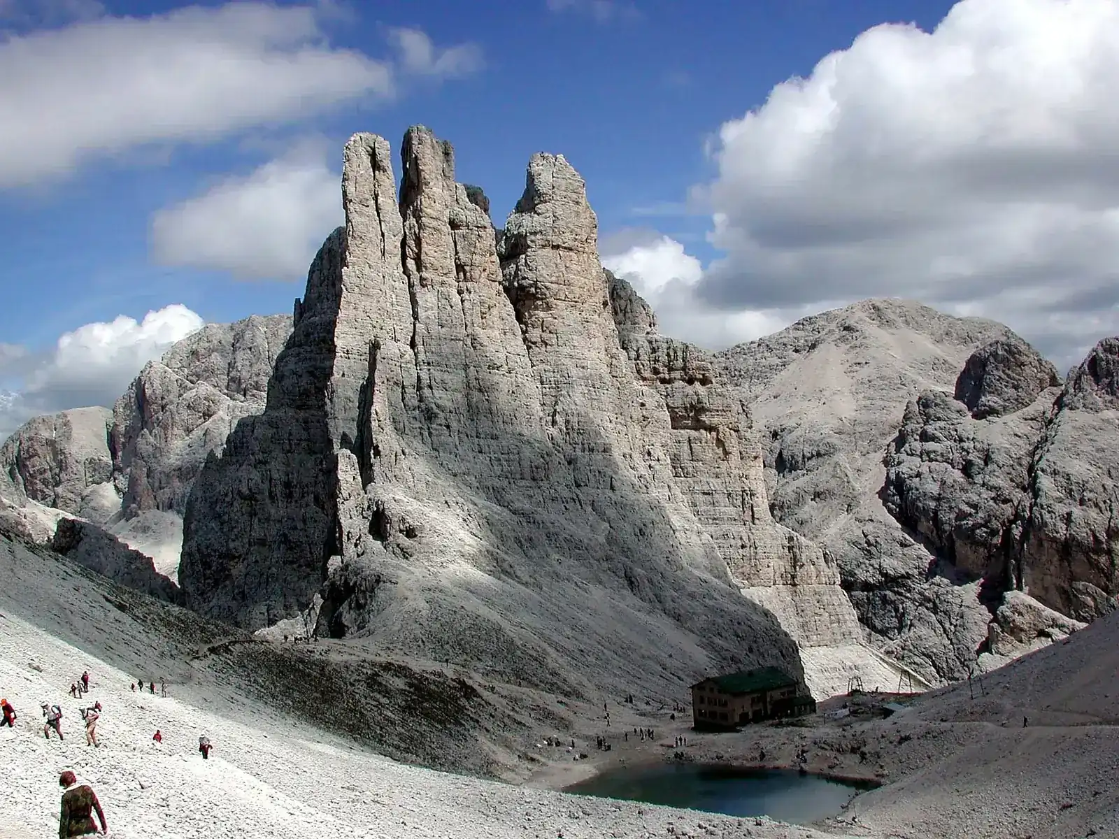
The Rosengarten (Catinaccio) rises between Val di Fassa in Trentino and the Tierser Tal and Eggental in South Tyrol. Its highest peak is the Kesselkogel (Catinaccio d'Antermoia), 3,002 m, or 3,004 m in some sources; the route does not climb it. Other landmarks are the Rosengartenspitze (2,981 m) and the Vajolet Towers (2,813 m). The South Tyrol side lies in the Schlern-Rosengarten Nature Park, and the massif is part of the Dolomites UNESCO World Heritage site, inscribed in 2009.
There are three common ways to walk it over several days: the full traverse from Val di Fassa to the Schlern and Alpe di Siusi, a shorter loop on the Fassa side around Vajolet and Antermoia, or a start from Passo Costalunga over the Roda di Vael. The Santner Pass route above Vajolet has several cable-aided sections and is an option for experienced hikers only. The Laurenzi ferrata over Molignon and the Kesselkogel ferratas are real via ferratas, not part of the trek.
Note for the coming season: on 2 August 2026 a storm triggered debris flows at Gardeccia and on the Vajolet slope. Water, power and sewer lines at the Vajolet, Passo Principe and Re Alberto huts were badly damaged, trails 546 and 584 were cut and about 20 hikers were flown out by helicopter. Both trails reopened on 7 August 2026 after an inspection by SAT, and the ground is still being monitored. Check trail and hut status with the huts and the Val di Fassa tourist board before you go.
| Route | Days | Scenery | Crowds | Acclimatisation |
|---|---|---|---|---|
| Vigo di Fassa to Siusi traverse, via Vajolet, Antermoia, Alpe di Tires and the Schlern itinerary belowThe itinerary below. A Catinaccio cable car start from Vigo di Fassa, four nights in huts and a Seiser Alm cable car finish down to Siusi. It crosses Passo d'Antermoia twice and the steep Passo Molignon, and the local tourism board rates its core stage difficult. To make it four days, walk down from the Schlernhaus on the afternoon of day 4. | 4–5 | Excellent | Medium | Very good |
| Fassa-side loop, Vajolet and AntermoiaA shorter loop on the Trentino side: up from Ciampedie and Gardeccia to Rifugio Vajolet, over Passo Principe and Passo d'Antermoia to Rifugio Antermoia, then back the same way or down one of the hut's access valleys, Val di Dona or Val Duron. Trail 584 is rated EE, for experienced hikers. You stay in Val di Fassa and skip the Schlern. | 2–3 | Excellent | Medium | Very good |
| Roda di Vael start from Passo CostalungaStart at Passo Costalunga (1,752 m), take the Paolina chairlift and walk past the Christomannos eagle monument to Rifugio Roda di Vael, then over Passo Cigolade (2,550 m) to Vajolet and on along the traverse. The tourism board gives the Roda di Vael to Vajolet stage as about 9 km with about 900 m up and down, rated difficult. Path 549 is exposed but well secured; path 552 is the easier option. Past landslides hit the Cigolade loop, so check conditions first. | 5–6 | Excellent | Medium | Very good |
5-day Vigo di Fassa to Siusi traverse, via Vajolet, Antermoia, Alpe di Tires and the Schlern itinerary at a glance
Day 1 starts in Vigo di Fassa with the Catinaccio cable car to Ciampedie, then a flat forest path of about half an hour to Gardeccia (trail 540) and a wide zigzag mule track of about an hour to Rifugio Vajolet (trail 546). With time to spare, walk up trail 542 to Rifugio Re Alberto under the Vajolet Towers, about an hour there and back. Day 2 follows trail 584 up steep scree to Passo Principe and Passo d'Antermoia, the high point at 2,770 m, then down to Rifugio Antermoia by its lake.
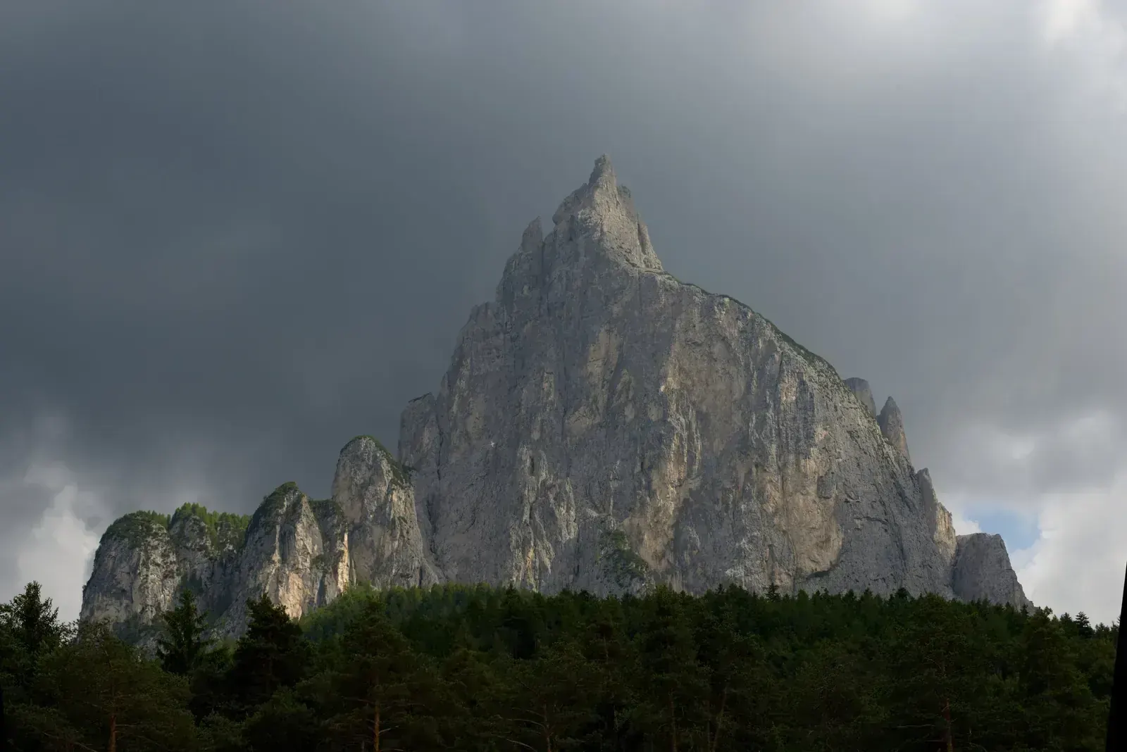
Day 3 crosses the most passes. You cross Passo d'Antermoia and Passo Principe again, then take trail 554, first right after the Principe hut, to Passo Molignon (2,598 m). The climb to it is steep over a gravel field, and you should expect steep, secured ground near the pass: ask the hut about conditions. You sleep at Rifugio Alpe di Tires (Tierser Alpl). Day 4 is short: about two hours on trail 4 to the Schlernhaus (Rifugio Bolzano), with Monte Pez, about a quarter of an hour away, for the sunset. Day 5 descends in about two and a half hours to Compatsch on Alpe di Siusi, where the Seiser Alm cable car drops you to Siusi.
- Day 1 Vigo di Fassa (Catinaccio cable car to Ciampedie) Rifugio Vajolet, via Gardeccia night at 2,243 m
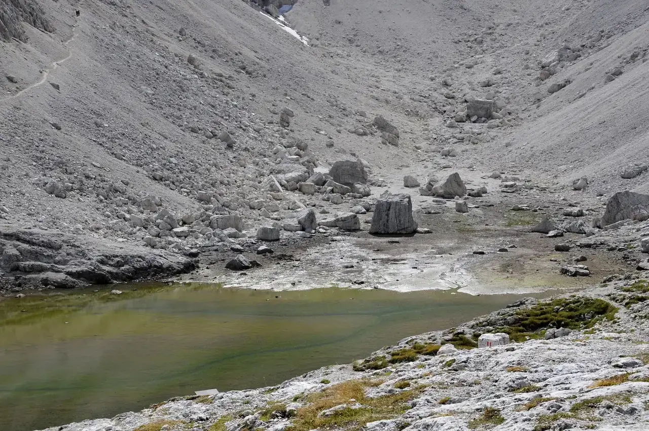
- Day 2 Rifugio Antermoia, by Lago di Antermoia via Passo Principe and Passo d'Antermoia 2,770 mnight at 2,497 m
- Day 3 Rifugio Alpe di Tires (Tierser Alpl) via Passo d'Antermoia, Passo Principe and Passo Molignon 2,770 mnight at 2,440 m
- Day 4 Schlernhaus (Rifugio Bolzano), on the Schlern plateau via Monte Pez, the Schlern's flat summit (optional) 2,563 mnight at 2,457 m
- Day 5 Siusi (Seis am Schlern), via Compatsch and the Seiser Alm cable car night at 1,015 m
What it really costs
No trekking permit is needed. The main costs are the huts, the lifts at both ends, the trains and buses to Val di Fassa and back from Siusi, and a Schengen visa if your passport needs one. Carry cash, as not every hut takes cards.
Insurance that covers Rosengarten (Catinaccio)
Take a travel policy that covers hiking and mountain rescue by helicopter in Italy. Rescue can be charged to you: in Trentino, where the trek starts, an uninjured hiker who is not admitted to hospital pays €750, and someone without a European health card is billed €92 per flight minute. South Tyrol also charges a fee. Most travellers from outside Europe have no European health card (EHIC).
Alpine-club membership (AVS, ÖAV) includes rescue cover up to €25,000, but AVS covers only residents of Europe or the Mediterranean rim: check residence conditions before joining a club for its insurance. In an emergency call 112.
Staying connected in Italy
TIM, Vodafone, WindTre and Iliad sell SIM cards and eSIMs in Italy. Bring your passport; the shop may create a tax code (codice fiscale) for you on the spot. Your home SIM will roam at your own operator's rates.
Signal is patchy in the high valleys and at the huts, and only about one hut in three has Wi-Fi or reliable signal. Download offline maps and the hut phone numbers before you leave the valley.
Getting there and where to stay
Fly into Venice (VCE) or Munich (MUC), take the train to Bolzano, then the bus up Val di Fassa to Vigo di Fassa. Verona is on the same railway, so many journeys from Venice change there. At the end, the Seiser Alm cable car takes you down to Siusi, with buses back to Bolzano.
Getting there by air
Train to Bolzano, bus to Vigo di Fassa
A night in Vigo di Fassa or Bolzano
Gear: rent or buy
You sleep in huts, so no tent or stove: pack light, about 30–40 litres. The essentials are a sleeping-bag liner (compulsory in CAI huts), boots with a good grip for scree, and layers for cold mornings. Around 2,000 m summer days are 11 °C to 16 °C and nights 5 °C to 8 °C; at the passes, over 2,500 m, expect a few degrees less and nights near freezing in June and September.
- Sleeping-bag liner (compulsory in CAI huts)Buy
- Hiking boots with ankle support and a stiff, grippy sole for screeBuy
- Backpack of 30–40 litres with a rain coverRent or buy
- Waterproof jacket and trousers for afternoon thunderstormsBuy
- Fleece or light down jacket, hat and glovesBuy
- Trekking poles for the scree descentsRent or buy
- Sun hat, sunglasses and high-factor sunscreenBuy
- Headlamp, first-aid kit, power bank and cash for the hutsBuy
- Harness, helmet and via ferrata set (EN 958) only for the Santner Pass variantRent
Add a few days in Italy
The trek ends close to some of South Tyrol's best-known sights, each an easy half day by bus or cable car.
Lago di Carezza (Karersee)
Alpe di Siusi (Seiser Alm)
Bolzano and Ötzi
Frequently asked questions
How hard is the Rosengarten (Catinaccio) trek?
Hard, though not technical. Most stages are short, about two to four and a half hours where times are published, but the passes are steep and loose: trail 584 over Passo Principe and Passo d'Antermoia is rated EE, for experienced hikers, and Passo Molignon has a steep gravel climb and secured ground on the descent. The tourism board rates the Vajolet to Schlernhaus stage difficult. You need sure footing on scree and a head for heights; ask the huts whether you need any kit for the secured ground near Passo Molignon.
Do I need a permit or a guide?
No permit is needed, and a guide is not required. Consider a mountain guide if you have not walked on steep scree before, or if you want the Santner Pass or a via ferrata. Wild camping is not allowed (only an emergency bivouac is tolerated), so plan on huts, and leave the drone at home in the nature park.
How do I book the huts?
Directly with each hut, by its online form, email or phone; SAT huts such as Vajolet and Antermoia also use SAT's booking system. Most huts take bookings from January, and the Alpe di Siusi tourism board says huts are often full well in advance: book months ahead for July and August. Expect a deposit, and carry cash for Rifugio Alpe di Tires, which takes cash only.
What about food, dietary needs and faith on the trek?
No hut we found states that it serves halal meals, and pork is everywhere in South Tyrolean and Ladin cooking: speck, dumplings with speck, barley soup with smoked pork. Meat-free staples include polenta with cheese or mushrooms, spinach and ricotta Schlutzkrapfen and Kaiserschmarrn. Vegan and kosher meals are not something to expect in the huts, so ask early or bring your own. Whatever your diet or allergy, ask in writing when you book: for a pork-free dinner, a vegetarian or fish main instead of meat, and whether stocks and sauces contain speck, pancetta, lard or wine; confirm a few days ahead.
For religious practice, you use the hut or a quiet spot on the trail; if you pray, bring a light mat and a qibla app. Bolzano and Trento have Islamic centres, and halal food is easier to find in the bigger valley towns before you go up.
Which languages do guides and hut staff speak?
Hut staff speak Italian and/or German, and English is common in the busy huts. If you go with a guided group, ask the operator before booking about other languages, such as Arabic, French or Spanish.
Should I tip?
Tipping is not expected in Italy. The coperto, a cover charge of a few euros on restaurant bills, is not a tip; rounding up or leaving a few euros for good service is fine. For a private mountain guide, ask what is usual when you book.
Which visa do I need?
It depends on your passport. Italy is in the Schengen area: check the rules for your nationality on Visto per l'Italia, the Italian foreign ministry's visa site, before you book. Visa-free visitors can stay up to 90 days in any 180; UAE citizens, for example, need no visa. Others need a Schengen visa (€90 for adults in 2026), among them Saudi, Qatari, Kuwaiti, Bahraini and Omani citizens, who since May 2024 can get a five-year multiple-entry visa on their first application. Apply at the Italian embassy or consulate, or its visa centre, where you live; if you live outside your home country, the rules for your own passport still apply. Since April 2026 the EU Entry/Exit System takes your fingerprints and photo on your first entry. ETIAS, the online travel authorisation for visa-free visitors, is not running yet.
When is the best time to go?
From late June to mid or late September, when the huts are open. Rifugio Alpe di Tires opens from May to October and the Schlernhaus from 8 June to 10 October in 2027; the SAT huts on the Fassa side usually open from about 20 June. Late June to mid July and September are quieter; huts are busiest in August. Snow can linger on the passes until early July.
Is it safe?
The main risks are afternoon thunderstorms, rockfall and slips on steep scree. Start early and be off the passes by early afternoon. On 2 August 2026 a storm caused debris flows below Vajolet, cut trails 546 and 584 and led to about 20 hikers being flown out; the trails reopened on 7 August, but check trail and hut status for the coming season. In an emergency call 112, and make sure your insurance covers helicopter rescue.
Are there cables or via ferrata sections?
The main route avoids the via ferratas, but expect steep, secured ground near Passo Molignon; ask the Alpe di Tires hut or the Grasleitenhütte about cables and conditions before you go. The Santner Pass variant above Vajolet has several cable-aided sections, and the Laurenzi and Kesselkogel routes are real via ferratas for which you need a harness, helmet, a via ferrata set and experience.
Can I do it without a car?
Yes. Trains run from Venice and Munich to Bolzano, a summer bus goes up Val di Fassa to Vigo di Fassa, and a cable car takes you up to Ciampedie. At the end, the Seiser Alm cable car runs from 22 May to 2 November 2026 down to Siusi, with buses to Bolzano. Cars are not allowed onto Alpe di Siusi between 09:00 and 17:00 while the cable car runs.
Sources and last check
- Wikipedia: Rosengarten group (peaks, location, name and legend)
- Wikipedia: Kesselkogel, height and via ferratas
- Eggental tourism board: Catinaccio to Sciliar, stage 3 Vajolet to Schlernhaus (checked 6 Nov 2026)
- Eggental tourism board: Catinaccio to Sciliar, stage 2 Roda di Vael to Vajolet
- Eggental tourism board: Rosengarten to Sciliar multi-day hike, stage 1 and buses 180/184
- Planetmountain: Rifugio Vajolet
- Val di Fassa tourist board: Rifugio Vajolet
- Val di Fassa tourist board: Rifugio Antermoia
- L'Adige: Rifugio Antermoia, renovation and season (2017)
- Bergwelten: Schutzhaus Tierser Alpl (altitude, season, cash only, times)
- Bergwelten: Grasleitenhütte (Molignon descent, own sleeping bag)
- Bergwelten: Grasleitenpasshütte / Rifugio Passo Principe
- Alpe di Siusi tourism board: Rifugio Bolzano / Schlernhaus, 2027 season (checked 6 Nov 2026)
- Planetmountain: Rifugio Bolzano / Schlernhaus (altitude, descents)
- Alpe di Siusi tourism board: multi-day tours and hut booking
- Alpe di Siusi tourism board: Seiser Alm cable car summer 2026 and road rule
- South Tyrol tourist board: Alpe di Siusi, cable car from Siusi to Compatsch, altitudes (checked 6 Nov 2026)
- dolomiti.it: Trekking delle leggende, Val di Fassa (trails 542 and 584, EE)
- Volpi del Vajolet: Ciampedie and the Catinaccio cable car, summer 2026 hours
- Volpi del Vajolet: Rifugio Paolina and Passo Costalunga (Oct 2026)
- Val di Fassa tourist board: Ciampedie, Roda di Vael and Paolina paths 549 and 552
- Montagna.tv: Roda di Vael, landslides on the Cigolade loop (Jul 2023)
- Province of Trento: Gardeccia debris flows and hut damage (3 Aug 2026)
- Province of Trento: trails to Vajolet and Passo Antermoia reopened (7 Aug 2026)
- Il Dolomiti: Val di Fassa storm, hikers evacuated from trail 584 (Aug 2026)
- Val di Fassa tourist board: summer bus timetable Bolzano to Penia, 27 Jun to 9 Sep 2026
- Eggental tourism board: Lake Carezza (checked 6 Nov 2026)
- South Tyrol Museum of Archaeology: Ötzi the Iceman (checked 6 Nov 2026)
- Dolomiti UNESCO Foundation: the nine systems of the Dolomites
- Wikipedia: Rolle Pass, NOAA climate normals 1991–2020
- Soccorso Alpino Trentino via Il Dolomiti: afternoon thunderstorms at altitude (27 Jul 2026)
- L'Adige: Trentino helicopter rescue charges (17 Sep 2026)
- AVS: insurance cover folder 01/2026 (rescue cover, residence condition)
- Province of Bolzano: single emergency number 112
- Montagna.tv: camping and bivouac rules by region (Jun 2024)
- sudtirol.com: South Tyrol tourist tax from 2025
- Italy Handbook: local SIMs and eSIMs in Italy (Sep 2026)
- learnitalianpod: coperto and tipping in Italy (Jun 2026)
- e656.net: Venice to Bolzano direct trains (checked 6 Nov 2026)
- Seat61: Munich to Bolzano by railjet
- Val Gardena tourist board: bus lines 350, 360 and 170 (2026 timetable)
- CAI guide: via ferrata kit, EN 958 (May 2026)
- CAI: 2026 hut tariff circular (deposit cap, liner rule, member discounts)
- SAT: hut deposit rule (26 Feb 2026)
- Italian Embassy Muscat: Schengen visa fees from 1 Apr 2026
- The National: five-year Schengen visas for GCC citizens (May 2024)
- Italiavola: Qatar Airways Venice suspended until 27 March 2027 (Jul 2026)